The situation
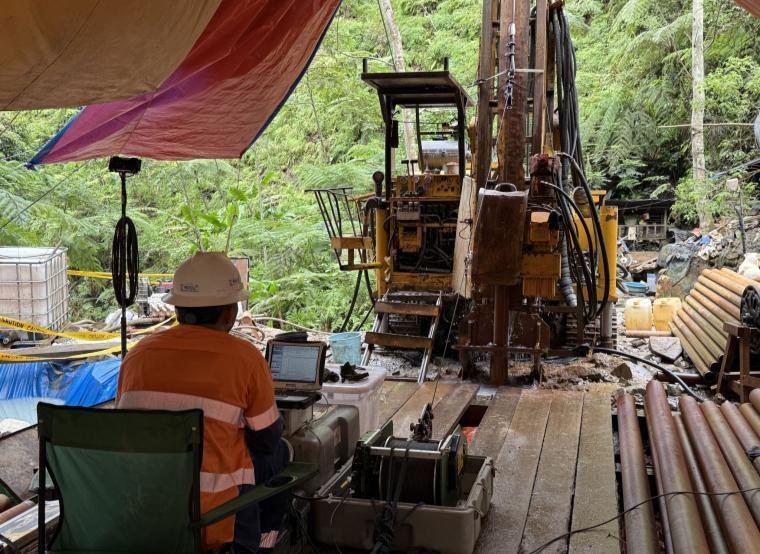
As part of a feasibility study for the development of the proposed US$2.37 billion open pit copper-gold mine on Mindanao, a series of deep boreholes was drilled to improve modelling of one of the world's largest undeveloped copper-gold deposits.
Technical approach
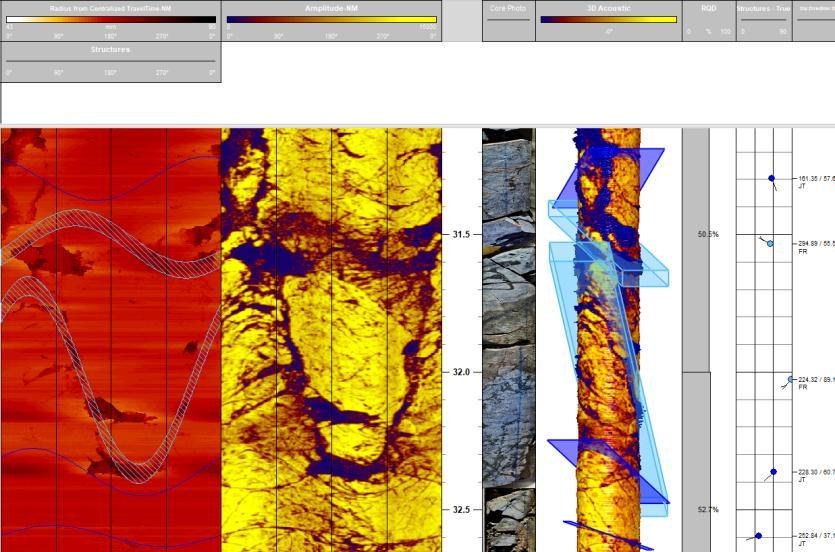
Advanced Logic Technologies optical and acoustic televiewers were used to better understand the porphyry deposits and map defect orientations and lineations within the site's diorite and volcanic geology. A typical vertical sample interval of 1-2 mm was used, with a sample captured every 1 degree around the 360-degree image.
Boreholes ranged from 95 to 447 m and were inclined between 70 and 80 degrees. This created centralisation challenges because televiewer tools must remain well centred to capture undistorted, high-quality borehole-wall images. Non-metallic bow-string centralisers were used throughout.
Because the volcanoclastic geology was unstable, every borehole was logged in multiple open-hole sections. Casing was withdrawn in stages and stable sections were logged individually, reducing the risk of collapse and data loss. Imagery from each section was depth-matched with adjoining sections and core information, then merged into a single log. Boreholes exceeding 400 m required 26-28 runs of 10-40 m sections.
Outcomes
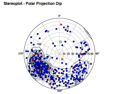
The investigation produced high-resolution, digital and oriented images of the rock wall in each borehole. Key fracture zones were identified and cross-referenced with recovered core. The tools' built-in magnetometers and inclinometers oriented imagery to magnetic north, with correction to true north, enabling calculation of true dip direction and azimuth for identified defects.
All processing was undertaken in WellCAD. Its advanced image-interpretation module supported:
- Stereonet polar-projection plots
- Rock Quality Designation
- Acoustic impedance
- Rose diagrams
- Histograms
Technical contribution: GEOPHYSICS LTD